


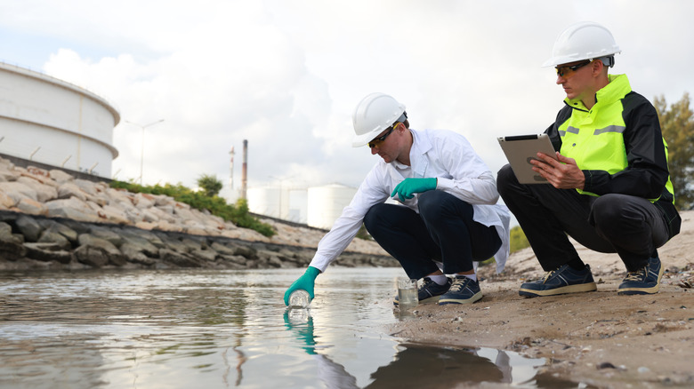
Mounted to the exterior of the International Space Station is the Earth Surface Mineral Dust Source Investigation (EMIT) Imaging Spectrometer, a unique instrument designed to analyze wavelengths of light emitted by minerals on the planet’s surface. It’s built for dust and materials mapping. The goal is to determine material compositions, to do things like identify and track them from space. Given its capabilities, NASA can do a lot more with the instrument, like tracing methane and carbon dioxide leaks. Recently, researchers used the instrument to spot and trace a wastewater plume that exits into the Pacific Ocean from the Tijuana River. This allowed the team to track the spread of the wastewater plume, showing how to map its shape without physically sampling water from the suspected locations. Why is this a big deal?
It can help agencies call out suspected contamination zones, delivering more accurate beach water safety warnings. Natural blooms happen, like the one causing Florida beaches to stink like rotten eggs. Tracking these events is important. Where normally, lab tests must be done to verify contaminants, and will still need to be done, the visualizations can help identify where the conditions are at their worst to choose better sampling sites and avoid riskier, unnecessary areas. The current methods are “resource-intensive” and limited in scope. On the other hand, EMIT used a 620 nanometer spectra trough feature to detect a dip in reflected light, which acts as a marker in the water. As wastewater concentrations rise, the feature reflects that change, revealing the plume’s path. Measuring the light across visible and infrared wavelengths reveals what’s hidden under the surface. That plume can also be tracked in wider areas, and in places where boats and waders cannot venture, giving a more complete representation of its spread.
Understanding sewage and wastewater spills

The study’s authors conclude that this news and these results are promising “for the use of spectroscopic sensors” like what EMIT uses to map, monitor and understand wastewater pollution. While this particular study focused on well-known contamination in the Tijuana River Estuary, which has long been a concern, it can also be applied to “similarly polluted coastal and estuarine systems,” and used for advanced water quality monitoring. Just the fact that the measurement of light can reveal contaminants contained in water is interesting by itself. Future algorithms and technologies trained on this information, and eventually improved, may be suitable for remote monitoring operations, which can be great given the rising levels of forever chemicals in major water bodies.
Moreover, the “retrievals of bacterial concentrations” that are largely manual and necessary for understanding water quality and pinpointing key indicators, will be much less troublesome and cumbersome with optical satellite imaging and monitoring solutions in place. It’s not a replacement, but spectral imaging can speed up the process and improve conditions for sampling teams. Through the study, scientists also identified the spectral trough limits or light threshold of various contaminants, with 620 nanometers serving as a known characteristic of high wastewater concentrations. Enterococcus, a fecal bacteria, for example, is indicative of the 620 nanometer feature, as well. Altogether, this marks a new shift towards preserving and improving our planet’s climate and environment. Earth is such a mess, scientists discovered toxic microplastics in the clouds. This technology can be used to visualize pollution and similar wastewater plumes, therby revealing hidden threats.


 is used by Dell, FedEx and Pepsi, JIm Cramer reveals")