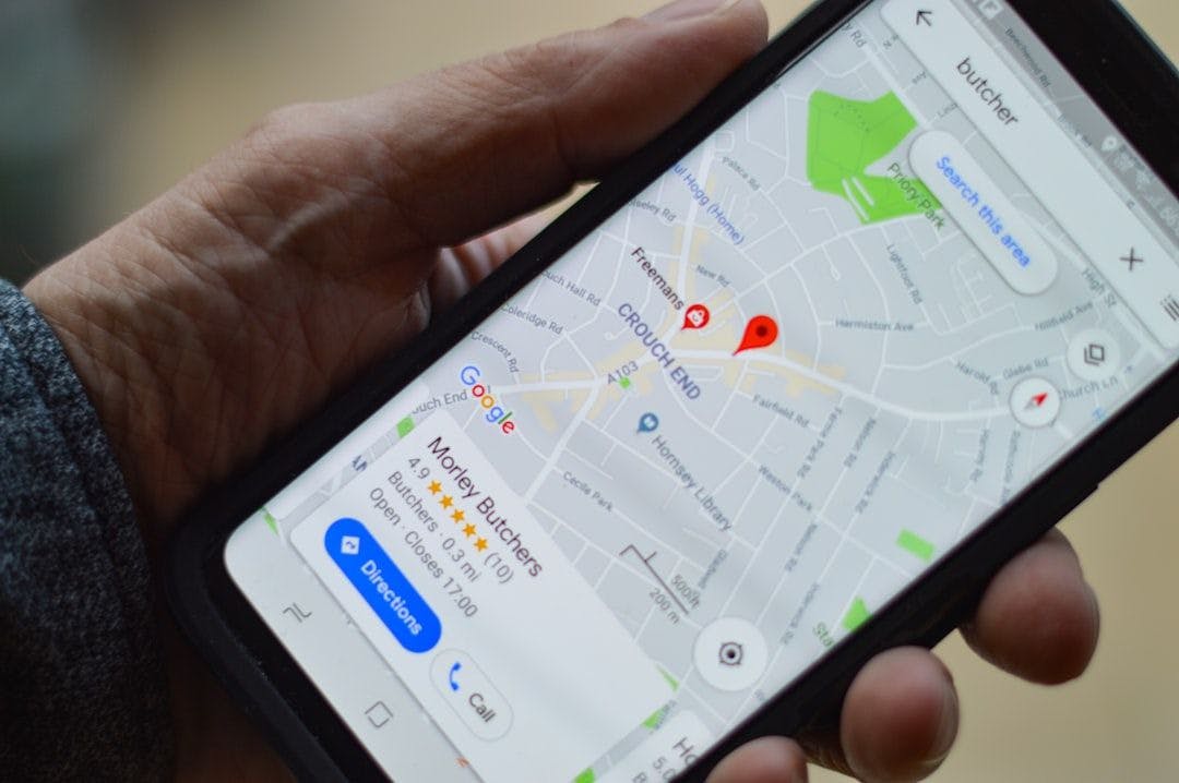
We live in a world mapped by satellites — a world where we can find the nearest coffee shop, hail a ride, or get turn-by-turn directions with a tap. But the moment we step indoors — into a high-rise apartment, a burning office building, a hospital, or a shopping mall — that convenience disappears.
When it comes to navigation, indoors is still a blind spot.
That might sound like a minor annoyance. It’s not. It’s a public safety crisis, a technological challenge, and a missed opportunity all rolled into one.
According to the FCC, more than 10,000 lives could be saved every year if emergency responders had precise indoor location information for 911 calls made from mobile phones. And that’s just the beginning of why indoor navigation matters.
Let’s break down what’s happening — and what’s finally being done about it.
GPS: A Global Marvel with a Glaring Flaw
The Global Positioning System (GPS) changed everything. But GPS relies on signals from satellites orbiting 12,500 miles above Earth — signals that are relatively weak by the time they reach us. Inside concrete, steel, or underground structures, these signals degrade or vanish entirely.
The result? Your phone doesn’t know if you’re in the lobby or the 15th floor. And for emergency responders, that uncertainty can be fatal.
Indoor location failures are most dangerous in:
- Multi-story buildings, where vertical location (i.e., floor level) is crucial.
- Hospitals and care homes, where vulnerable people may call for help but cannot communicate their location.
- Fires, collapses, or disaster zones, where first responders must locate colleagues or victims without line-of-sight.
When Seconds Count, Location Matters
Imagine a firefighter entering a smoke-filled building with no visibility. GPS isn’t helping. Communications are patchy. Their life — and the lives they’re trying to save — depend on knowing their exact location and that of their team.
Or consider the thousands of 911 calls that come from large buildings each day. As the
A mother trapped in a stairwell. A heart attack victim on the wrong floor. A lost child in a shopping mall. The stakes are real. The need is urgent.
The NIST Challenge: Catalyzing Innovation
Recognizing this critical gap, the U.S. National Institute of Standards and Technology (NIST) recently launched the
Its goal? To accelerate the development of technologies that allow emergency responders to track themselves and others in GPS-denied environments.
Key priorities include:
- Real-time indoor positioning with high accuracy
- Floor-level differentiation
- No dependency on external infrastructure
- Lightweight and wearable systems
NIST’s approach echoes the early days of GPS — when public-sector investment laid the foundation for a technology that now powers everything from stock markets to ride-sharing apps. The hope is that indoor navigation could follow the same trajectory.
What Does Indoor Navigation Actually Look Like?
Let’s be clear: there’s no single “indoor GPS” — not yet. But a range of hybrid technologies are converging to make it possible:
- Wi-Fi and Bluetooth: By triangulating signal strength from known transmitters, devices can estimate position.
- Ultrawideband (UWB): Offers centimeter-level accuracy, already used in high-end smartphones and wearable tags.
- Inertial Navigation: Uses accelerometers and gyroscopes in your phone to track movement.
- Magnetic Positioning (M-GPS®): Maps the unique magnetic signature of indoor spaces using a phone’s magnetometer.
- Barometric Pressure Sensors: Help determine elevation changes — crucial for identifying the right floor.
- Computer Vision & AI: Enable devices to “see” and understand their indoor surroundings using camera feeds.
As the
Beyond Emergencies: Public and Private Impact
While saving lives is the most urgent case, indoor navigation has massive implications across sectors:
- Museums: Help visitors find specific exhibits or assist in crowd management.
- Hospitals: Track medical assets, optimize workflows, and help patients navigate complex facilities.
- Smart buildings: Automate lighting, security, and HVAC systems based on occupant movement.
- Retail and airports: Improve customer experience through real-time directions and location-based services.
- Defense and public safety: Support missions in complex or denied environments, where GPS is unavailable or compromised.
In all these scenarios, knowing who is where — and when — unlocks a new layer of spatial intelligence.
Challenges That Remain
Indoor navigation isn’t solved — not by a long shot. Challenges include:
- Lack of infrastructure in many public buildings
- Privacy and data security concerns for real-time tracking
- Device fragmentation, especially across older smartphones
- High variability in building materials, layouts, and signal environments
But the direction is clear. With public-sector leadership and private-sector innovation, indoor positioning is inching closer to mainstream.
Conclusion: The Indoors Are the New Frontier
In the 1970s, the U.S. government began building GPS to solve a military problem. It ended up changing the world.
Today, we face a new problem — this time, inside our buildings.
Lives depend on solving it.
If we treat indoor navigation with the same seriousness we once gave satellite navigation, the next generation of location technology won’t just guide you through a mall — it could guide a paramedic to your side when every second counts.
The map doesn’t end at the door. It’s time we finished drawing it.


