

Crossing a metropolis in the middle of summer is often a challenge, transforming the slightest journey into an ordeal under the blazing sun. Based on this observation, Axel Aubry, a computer engineer from Rennes, developed Find out. The idea came to him when he noticed that he instinctively changed his movements to seek shade. Unlike Google Maps or Waze, which optimize speed, this tool favors thermal comfort of the user.
How does this tool work to ensure a cooler ride?
To create his new kind of route calculator, Axel Aubry relied on the wealth ofopen datathis public data accessible to all. The Fraichù algorithm crosses a multitude of geographical and environmental parameters to model the urban environment and its freshness. The app is a direct response to episodes of heat wave more and more frequent.
The tool uses the BD TOPO database in particular to know the height of buildings and calculate the shadow cast on sidewalks in real time, depending on the time of day. It also integrates OpenStreetMap data to locate parks and water pointsas well as the information provided by town halls on plant cover. The combination of these sources makes it possible to propose a path which avoids burning asphalt as much as possible.
How effective is Fraichù?
According to its creator, the use of Fraichù can allow a reduction in temperature felt 3 to 4°C compared to a traditional route. A test carried out in Paris between the Parc des Princes and the Esplanade Henri de France confirmed this: for just one minute and 100 meters of additional walking, the perceived temperature dropped by one degree, simply by walking alongside taller buildings and crossing vegetated areas.
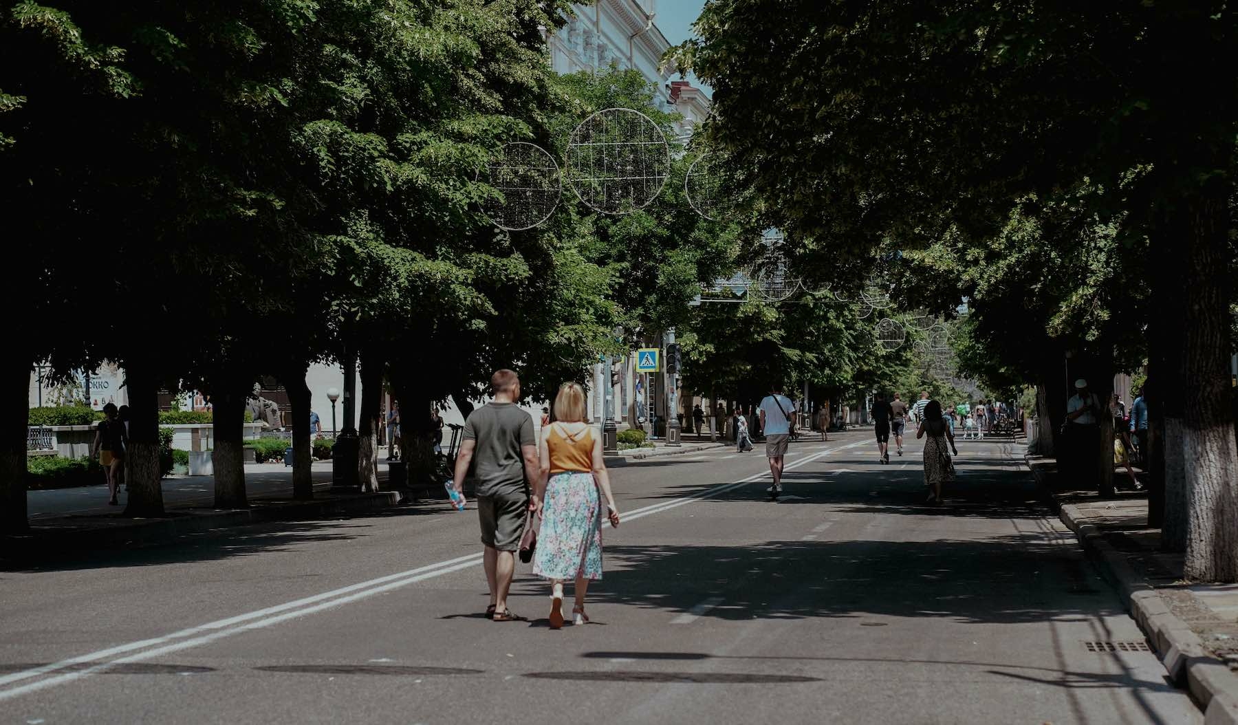
The interface generally offers three options: the shortest route, a balanced route, and the freshest. The latter, often a little longer, favors sheltered streets, covered passages or even quays. The benefit is twofold: in addition to increased comfortthese routes are often more pleasant, with less car traffic.
What is the future of this citizen initiative?
Launched as a prototype, the project immediately met with great success, notably thanks to a publication that went viral on professional networks. Of the dog owners to health professionals, positive feedback poured in, welcoming a concrete solution to the dangers of high heat for vulnerable people. Currently available for Paris, Rennes and Lillethe tool offers a vote to choose the next cities to integrate.
Beyond its immediate usefulness, Fraichù is part of a broader reflection on the planning of cities in the face of climate change. Usage data could ultimately help municipalities identify priority areas to revegetate to combat urban heat islands. Axel Aubry plans to professionalize his project, with the development of a dedicated mobile application and a version adapted to cyclists.